The
COVID-19 pandemic has caused great damage to almost all aspects of human life.
It has not only killed an astounding number of people but has also caused
physical and mental damage to many. It has thrown the world into a climate of
uncertainty and fear that has pretty much become the new normal and cannot be
guaranteed to go away.
In
such challenging times, enterprises worldwide have taken many effective steps
to help those in crisis and provide relief and support to them. Many businesses
have donated enormous amounts of money to relief organizations, while some have
also tried to provide free and immediate services to those in dire need. The
search engine and technology giant Google is the most recent company to pull
off such a noble activity.
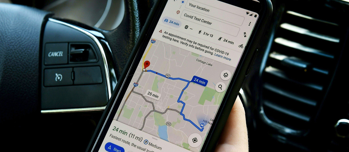
With
the launch of a new feature in its Maps navigation tool, Google is trying to
educate people better and helping them make the now crucial-looking decision of
going to a public place or not. Users will be able to view different timings of
a place and see when it is the busiest. Except that, it also provides real-time
data into how the COVID virus is spreading through your nearby community. It
does so by showing the average cases and its relation to the data of previous
days.
This tool can prove useful to many people in navigating through their community safely and avoid contracting the terrible ailment. The tool also gives crucial information like whether a store or public place keeps up with the prescribed SOPs or not and to what extent. All this information makes this tool a helpful addition to the already growing toolset of applications that help one effectively navigate through the pandemic safely.
